


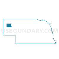
Alliance Ward 4, Box Butte County, Nebraska
About
Outline

Summary
| Unique Area Identifier | 612451 |
| Name | Alliance Ward 4 |
| County | Box Butte County |
| State | Nebraska |
| Area (square miles) | 1.71 |
| Land Area (square miles) | 1.71 |
| Water Area (square miles) | 0.00 |
| % of Land Area | 100.00 |
| % of Water Area | 0.00 |
| Latitude of the Internal Point | 42.09204230 |
| Longtitude of the Internal Point | -102.88764420 |
Maps


Graphs
Select a template below for downloading or customizing gragh for Alliance Ward 4, Box Butte County, Nebraska


Neighbors
Neighoring Voting District (by Name) Neighboring Voting District on the Map
- 11 Precinct, Box Butte County, NE
- Alliance Ward 3, Box Butte County, NE
- Alliance Ward 5, Box Butte County, NE
- Alliance Ward 6, Box Butte County, NE